Facilities
The Burchfiel Geography Building (BGB), which was built with funds donated by the late William Burchfiel Jr., is located in the heart of the campus. Opened in August, 2000, the BGB is, to our knowledge, the newest free-standing geography building in the United States. We also believe it is the only building on campus built solely with private funds. The BGB houses the administrative offices, faculty offices, graduate student offices, GIS Outreach office, several classrooms, GIS and computer labs, and physical geography teaching labs.
Learn More About the Burchfiel Gift
GEOSPATIAL FACILITIES
VIRTUAL TOUR
Welcome to a virtual tour of the geospatial facilities within the UTK Geography Department. The virtual tour video was created by Nathan McKinney, GIS Labs Manager of the Geography Department.
GIS Outreach and Engagement Lab
The Bureau of Labor Statistics (URL below) estimates that the annual growth in geospatial technology is almost 35 percent per year. With companies like Uber, Tesla, Google, and Apple relying on geospatial data to power their latest innovations, companies are in need of highly skilled and critical thinking geographers.
The goal of the UTK GIS Outreach and Community Engagement Lab is to help promote the role of GIS and related technologies in our everyday world and encourage people to pursue a career in geography. We offer outreach opportunities to the K-12 community by giving presentations at schools, attending college and career fairs, participating in teacher in-service and workshops, and offering a variety of hands-on activities for students. We also promote GIS on UT’s campus by hosting events like GIS Day as well as partnering with other departments on campus to conduct collaborative research. Private Industry, research labs, all forms of government, and non-profits rely on geospatial analysis to more efficiently pursue their goals and we offer training opportunities and student internships for those organizations.
If you would like to learn more about how GIS and Geospatial Technology are relevant to your world, please contact the GIS Outreach Coordinator.
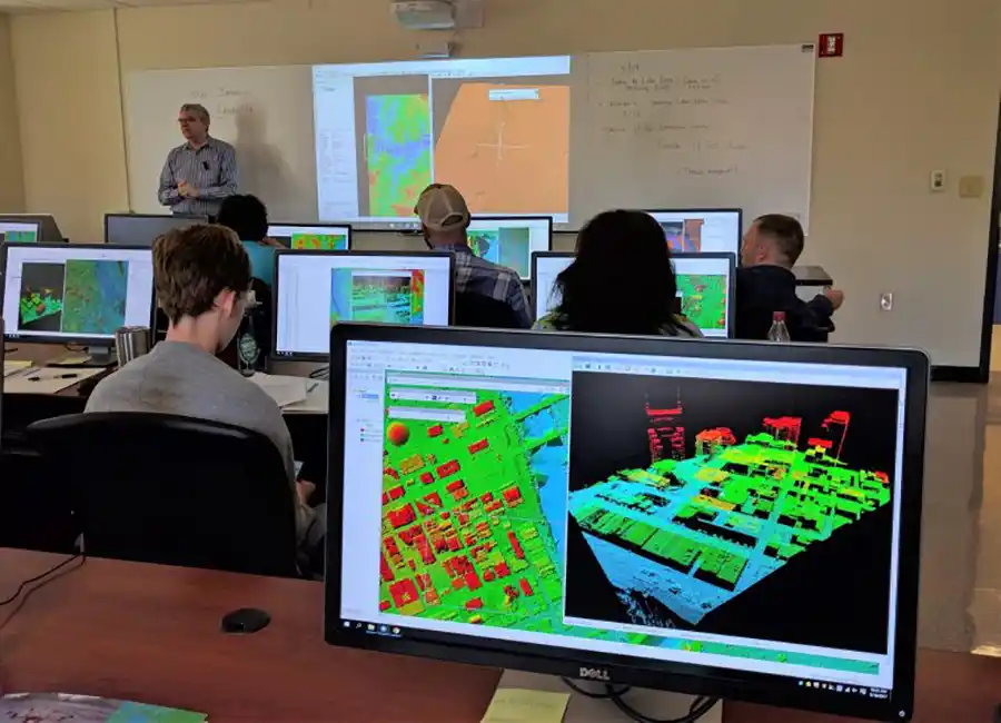
Geographic Information Systems (GIS) Laboratories
The department of Geography maintains three modern geospatial teaching labs in BGB 206, BGB 404 and BGB 405. Equipped with a wide variety of commercial and open-source software packages for GIS, remote sensing, image processing and statistical analysis, our lab facilities are open for students to work on projects and assignments when courses are not in session.
For lab facility open hours, availability of software or equipment and other geospatial resources look at the GIS Labs website.
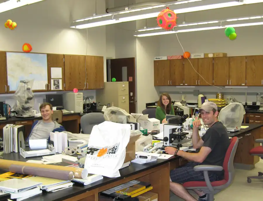
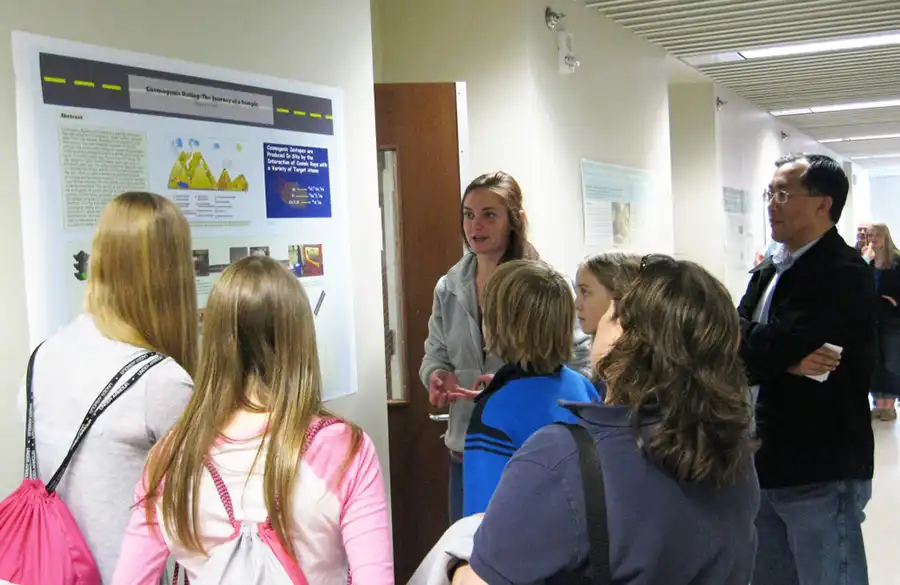
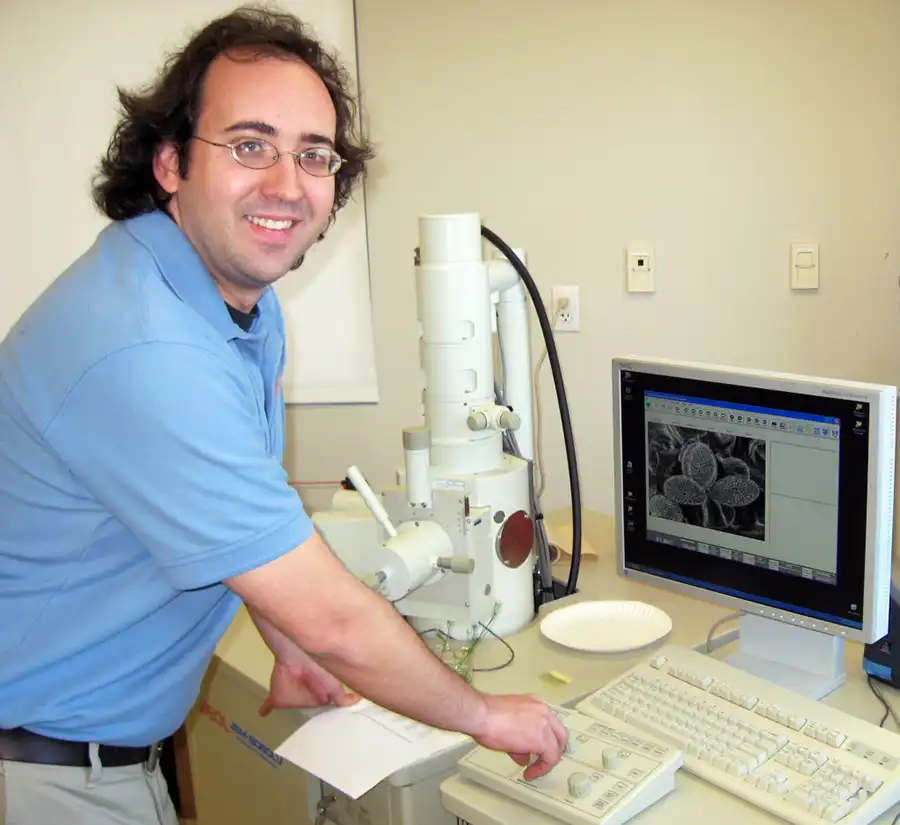
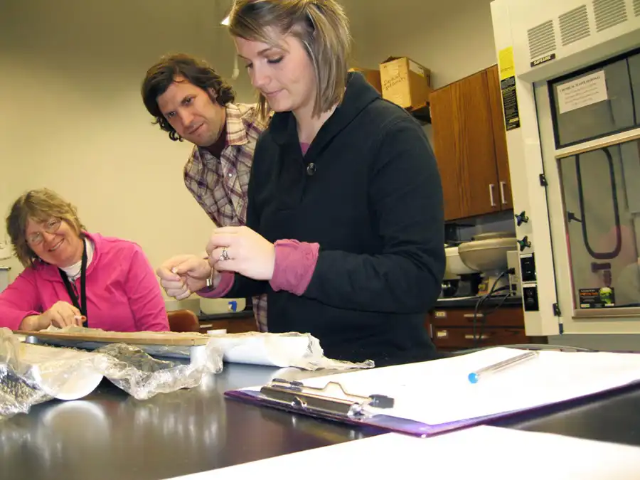
Laboratory of Paleoenvironmental Research
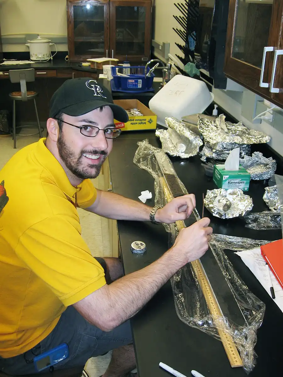
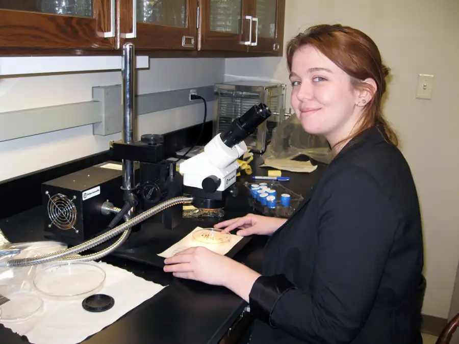
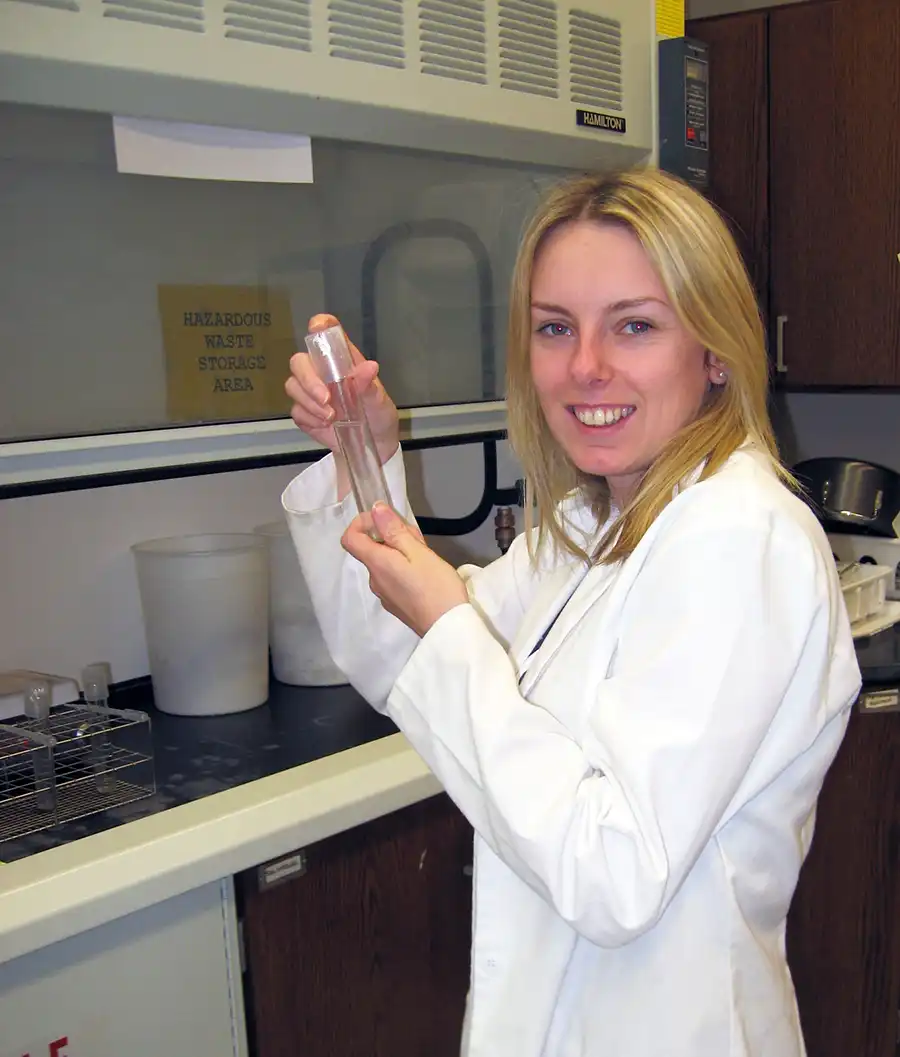
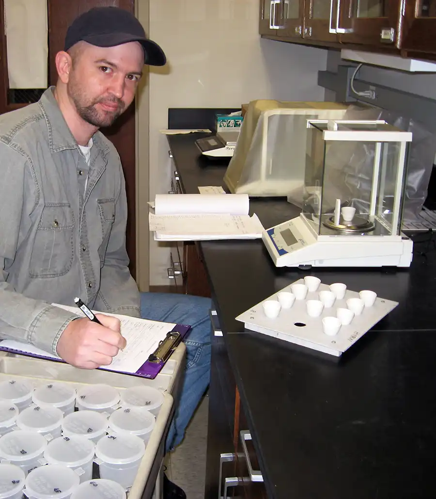
The Department of Geography’s Laboratory of Paleoenvironmental Research in the Science and Engineering Research Facility is dedicated to the study of soils and sediments as archives of climate and environmental history. Directed by Drs. Sally Horn and Yingkui (Philip) Li, the lab includes facilities and equipment for recovering and analyzing sediment cores from lakes and wetlands, sampling and analyzing soil profiles for paleoenvironmental research, and for preparing rock samples for cosmogenic nuclide analysis. Research projects in the Laboratory of Paleoenvironmental Research are supported by grants from NSF to faculty and students, grants and contracts from other federal agencies and private foundations, and by UT’s Office of Research. The photos below show some of the facilities and past and present students in the lab. Click on image for better viewing.
GIST at ORNL
The Geospatial Science and Human Security (GSHS) Group at the Oak Ridge National Laboratory has been a pioneer in the development, implementation, and application of systems, science, and technology for geographic information since 1969 — well before the advent of commercial GSHS.
