Engaging K-12 Students in Scientific Research
Engaging K-12 Students in Scientific Research
In 2018, under the leadership of Becky Trout Fryxel, associate professor of medical and veterinary entomology, a unique team of partners from the UT Departments of Plant Pathology, Geography, and Theory and Practice in Teacher Education, the Tennessee Geographic Alliance (TGA), and Brian Smith, a local middle school teacher, were successful in procuring a three-year grant from the US Department of Agriculture for the Medical Entomology & Geospatial Analyses: Bringing Innovation to Teacher Education & Surveillance Studies (MEGA:BITESS) project. It leverages medical entomology, geospatial techniques, and geographic pedagogies by providing professional development for grades 6-12 educators.

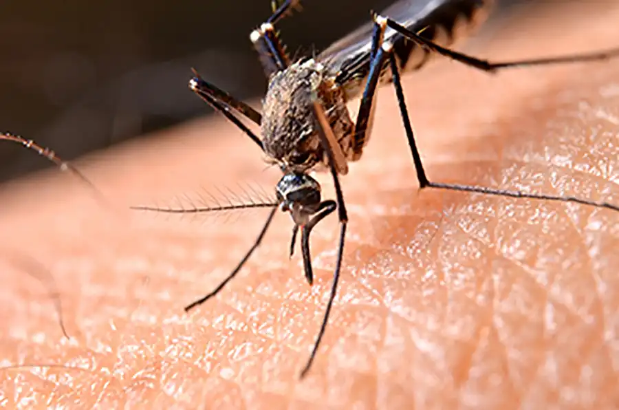
The project’s relevance to the East Tennessee community is its focus on La Crosse encephalitis, the leading pediatric arbovirus transmitted by mosquitoes in the continental United States. Independently, the fields of entomology and geospatial sciences are understaffed. When combined, the result is decreased surveillance and increased response times for pathogen detection, which puts human and animal health and food security at risk.
The project’s long-term goal is to develop an informed Science, Technology, Engineering, Arts, and Math (STEAM) teaching community that integrates inquiry-driven learning with community-needed service projects. To do this, the team developed a yearlong academy that includes three in-service workshops, classroom support for educator/student inquiry-driven surveillance programs, and student-developed educational material for the local community. The year-two cohort is currently implementing research protocols in their middle and high school classrooms.

Brian Smith (’05), a social studies and GIS teacher at Jefferson Middle School in Oak Ridge, is key to the success of the program. For almost a decade now, Smith has designed and facilitated geospatial technologies teacher professional development programs for the Tennessee Geographic Alliance. Many of these have been in partnership with the UT Department of Geography. His unique skillset combines an ever-expanding understanding of geospatial software, how it can effectively be used in the K-12 classroom, and an engaging teaching style that highlights equal parts pedagogy and patience.
The MEGA:BITESS project is unique because it directly engages students in authentic scientific research in the field. Students prepare and set ovitraps in locations around their school to collect data weekly using egg papers and datasheets, and then record that data in a Google form that can combine the ovitraps’ geographic location and physical surroundings. Since this data is provided for analysis by the University of Tennessee Institute of Agriculture, students are excited about working with UT. It is also important to them since La Crosse encephalitis affects young people because they do not have the immune systems to fight off the disease, which is difficult to detect.
“In a very real way, students see this as a chance to make an impact in their community,” Smith said.
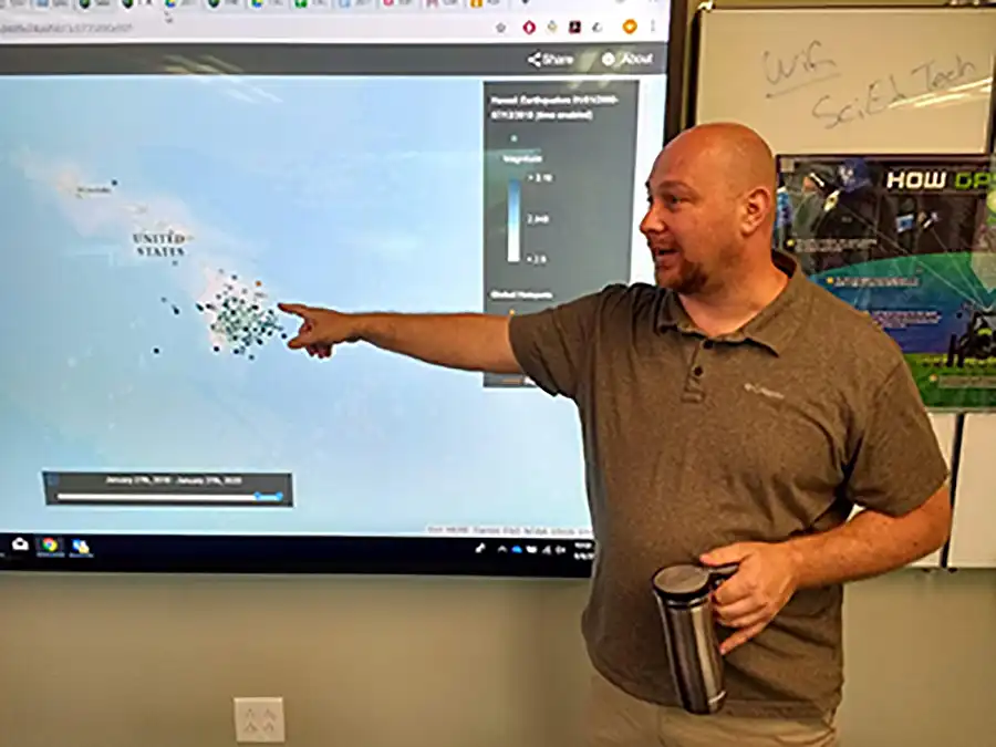
Smith assists Michael Camponovo, GIS outreach coordinator, in educating participating teachers how use and create geographic data with ArcGIS Online and GIS mapping applications like Survey123. He has also developed lessons for teachers to use to build their GIS skills they can share with their students.
“This is incredibly important since entomology and geospatial skills are not typically taught to preservice teachers; resulting in a critical need to increase the awareness of agricultural sciences and to develop students with the desire to pursue entomology and geospatial technologies as career pathways,” said Smith, who appreciates getting to work with Camponovo. “Not only does Mike lead the GIS skill sessions, he also brings in state and national leaders as speakers (Zoom and in-person) to demonstrate how GIS is used in a variety of STEAM-related fields.”
Smith credits the TGA with his growth as a teacher by providing leadership opportunities at regional geographic leadership institutes. Additionally, the two have recently worked together to provide teacher professional development using GIS, Google mapping tools, geographic themed inquiry-based learning, the Golden Age of Islam: (Human) Geography and Geometry Project, and the upcoming Mythical Cartography Workshop (2021) where participants will learn artistic techniques to share with their students to create hand-drawn maps.
“Working with the TGA has given me the opportunity to grow by learning and sharing with numerous geographers and teachers across the state.”
