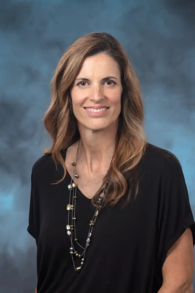
Amy Rose

Amy Rose
Senior Staff Scientist, Oak Ridge National Lab
I found geography through luck. While still undecided in my undergraduate major, I met Dr. Julian Ray, a UTK Geography alum who offered me a GIS internship at the UT Center for Transportation Research (UTCTR). Despite the barren landscape of geospatial tools and data back then, it was a great time to be entering the field of GIS. In many ways, I “grew up” in lock step with the field. I didn’t know much about computer technology and nothing about programming, but I did have a love for maps and enjoyed geometric theory and pattern discovery. I immediately became a geography major, and never looked back.
After graduating from UTK with my B.A. in Geography, I accepted a full-time research associate position with UTCTR where I spent the next 8 years. I started out as part of a team that helped develop a linear referencing system as part of the National Highway Planning Network (NHPN) for the Federal Highway Administration (FHWA). This certainly helped me hone my digitizing skills, but also cemented in my permanent memory the difference between the “BUILD” and “CLEAN” commands in Arc/INFO. During my time at UTCTR, I took on a variety of roles from GIS analyst to principal investigator for sponsors including U.S. Department of Transportation (USDOT), the Military Surface Deployment and Distribution Command (SDDC), and the Tennessee Department of Transportation (TDOT).
It didn’t take long for me to realize that I wanted to continue my formal education, so I returned to UTK and entered the graduate program in Geography to work with Dr. Bruce Ralston. Dr. Ralston’s area of specialization was transportation GIS, and with my ongoing work at UTCTR it was a perfect fit. I was working full time at UTCTR and taking courses part time, so it slow going, but eventually I earned my M.S. in Geography with a graduate minor in Logistics and Transportation. When I walked across the stage to receive my diploma, I was certain it was for the last time.
A few years after I graduated, I ended up leaving UTCTR for an opportunity with The Shaw Group. Almost immediately I was shifting gears from transportation to environmental site assessment. A critical need at that time was for geospatial support – particularly custom application development and database management – for remedial investigation/feasibility studies (RI/FS) and remedial design/remedial action (RD/RA) activities. I still have the Environmental Geology textbook a colleague at Shaw gave to me when it was clear I could use a little help contextualizing the groundwater modeling we were doing. I was the GIS Group’s technical lead for this work and ultimately ended up leading a team to design and develop a decision support system to facilitate the mission of the Defense Logistics Agency (DLA) Defense Energy Support Center’s (DESC) Sustainment, Restoration, and Modernization (SRM) program.
I did a career pivot again in 2007 when I accepted a position at Oak Ridge National Laboratory (ORNL) in what used to be the Geographic Information Science & Technology Group. Since then, the group and my role has evolved; I’ve gone from Research Associate to Team Lead to Group Leader, and finally to my current role as a Senior Scientist in the Geospatial Science & Human Security Division. From my first day at ORNL, I’ve been involved in the LandScan project, developing highly resolved global population estimates. As part of the LandScan project team, I was fortunate to work with Eddie Bright who is also a UTK Geography alum. Eddie was an incredible (tor)mentor who taught me countless things that I didn’t know I didn’t know.
This is what ultimately led me back to UTK Geography and my journey to a Ph.D. In another stroke of luck (for me at least!), my entry into the Ph.D. program coincided with the arrival of Dr. Nicholas Nagle to the department. As with my master’s, I was a part-time graduate student while working full time. It wasn’t an easy path by any means, but eventually on a cold, rainy day in 2014 I successfully defended my dissertation. I’m still grateful that Nicholas told me to “suck it up” when I needed to hear it the most. This lesson stuck with me: when you have a great mentor, listen to what they have to say even if it’s not what you want to hear.
Now, my role as a senior scientist at ORNL provides me with the opportunity to conceive and lead new R&D for multiscale, high resolution, spatiotemporal modeling of human dynamics. I’m fortunate to work with very talented people with expertise including population modeling, remote sensing, GeoAI, and geoinformatics engineering to engage scientific and technical challenges with an interdisciplinary approach. This year, in partnership with the National Geospatial-Intelligence Agency (NGA), all datasets in the LandScan archive are now openly available for the first time since the research program began in 1998. I encourage everyone to browse and download these data here: https://LandScan.ornl.gov.
Quite a bit has changed in geospatial science and technology over the course of my career. I remember thinking while I was at UTCTR that one day we would have all the data available to us and the analyses would be easy (and no more digitizing!). The reality is that the deluge of data since that time hasn’t made things easier, but it has given us more potential pathways for discovery. I use this analogy: when I started my career, data were like the puzzle pieces of a single puzzle and many of those pieces were missing; these days, it’s like thousands of pieces from several interconnected puzzles were dumped on a table to sort through…and there will still be pieces missing, but the potential to see the picture clearly is there if we can just make some sense of all the pieces on the table.
