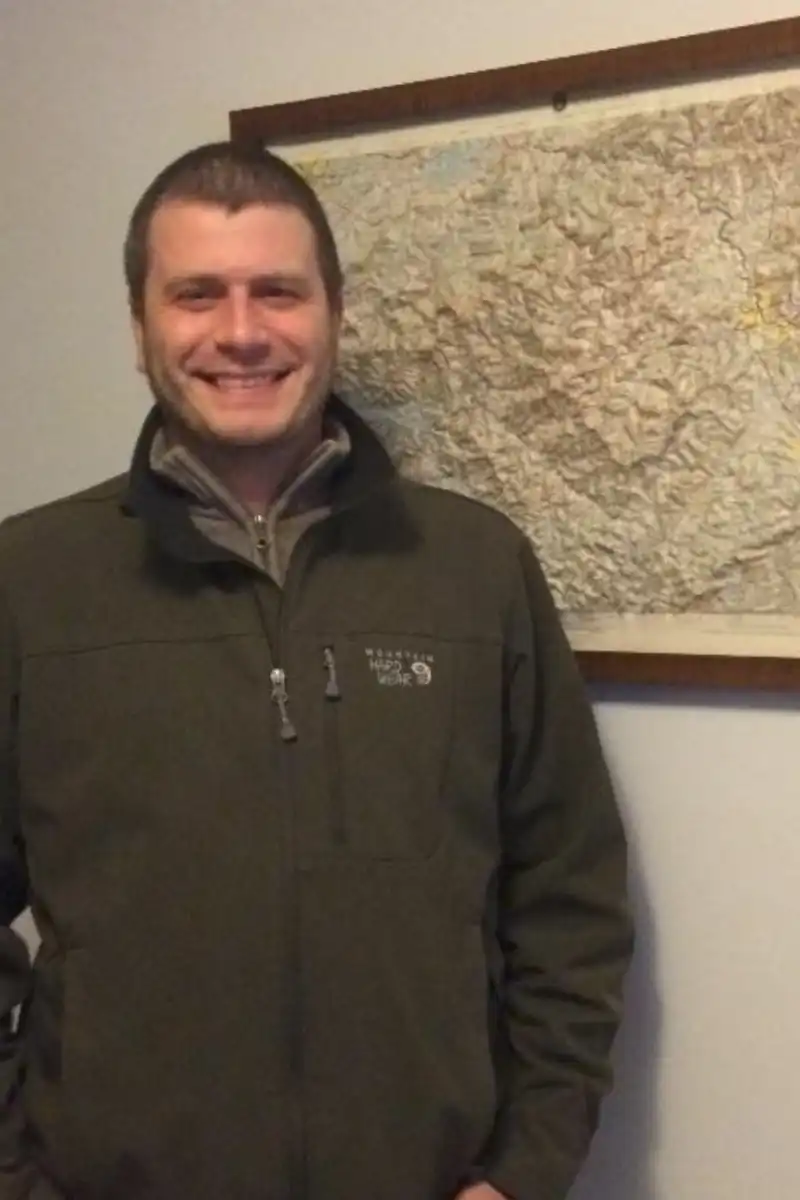
Taylor Hauser

Taylor Hauser
Geospatial Data Analyst, Oak Ridge National Lab
Taylor Hauser has worked at ORNL in various roles for over 9 years. He uses his background in geography (BA UTK 2014) and environmental informatics (MS TTU 2019) to study and model the built environment. He does so through the use of building morphology indicators as inputs into machine learning models. His work helps enrich and validate various geospatial data sets used by the emergency response and national security communities. Taylor has assisted in the development of USA Structures1, LandScan USA and HD2, and over 10 HIFLD layers3 while responding to many emergency events4,5
1. https://gis-fema.hub.arcgis.com/
2. https://landscan.ornl.gov/
3. https://hifld-geoplatform.opendata.arcgis.com/
4.https://www.ornl.gov/news/deep-learning-underlies-geographic-dataset-used-hurricane-response
5. https://nypost.com/2021/12/13/biden-to-tour-kentucky-tornado-damage/
