
UT Geographers Put GIS on the Map at Statewide Meeting
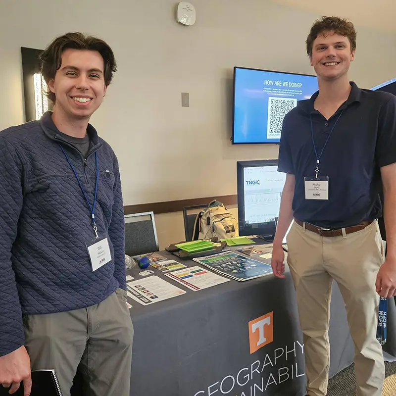
UT Department of Geography and Sustainability faculty, students, and staff represented Vol geography in a huge way at the annual Tennessee Geographic Information Council (TNGIC) Conference for geospatial professionals April 9–11, 2024, at Montgomery Bell State Park, in Burns, Tennessee, west of Nashville.
Michael Camponovo, director of both UT’s GIS outreach and the GIST Program, was conference chair. A host of Vol geographers led workshops, gave presentations, and earned awards during the conference.
“As a student, TNGIC gave me the opportunity to create and share maps, give presentations, and build the professional network that eventually led to my job here at UT,” said Camponovo. “As a GIS professional, I want my students and alumni to have these same opportunities to launch their careers. That’s why I’m so passionate about getting involved with TNGIC.”
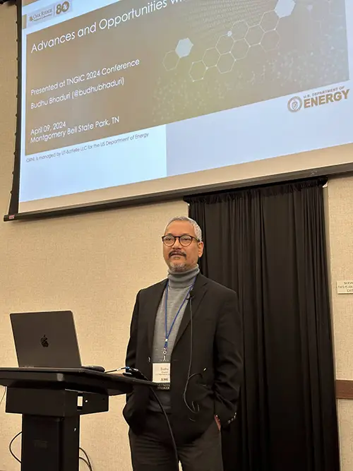
The TNGIC works to improve connections among agencies working with geographic information systems (GIS) in Tennessee. Their annual conference offers opportunities for GIS professionals and students to network, learn, and share their work and new ideas in the field. Keynote addresses at the conference were delivered by Budhendra Bhaduri, director of the Geospatial Science and Human Security Division at Oak Ridge National Laboratory, and Nikolas Smilovsky, geospatial solutions director at Bad Elf, a global navigation satellite systems company.
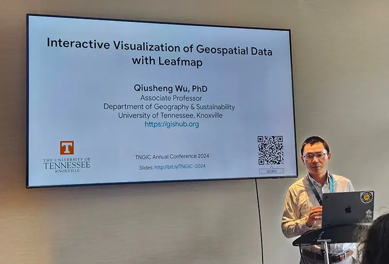
Associate Professor Qiusheng Wu led a workshop focused on cloud computing with Google Earth Engine and Geemap and presented with the FOSS (open-source GIS) community on Leafmap and data visualization. Wu also organized the inaugural TNView Remote Sensing Presentation Contest for students.
Lecturer Mayra Roman-Rivera and Professor Derek Alderman shared the work their students are doing as part of the GEOG 420—GIS in the Community class.
UT’s GIS Lab Manager Tim Kane volunteered with the UT cemetery mapping team to collect terrestrial lidar as part of a service project at Montgomery Bell State Park.
Student Caroline Petersen earned first place in the conference mapping contest, best analysis category, for her research using MaxEnt for pollinator prediction in Davidson County. She and fellow Vol Josiah Cubol were selected to join the TNGIC Outreach committee.
Emma Blanks and her team from GEOG 420 earned the Viewer’s Choice award in the map gallery for their work on the revised Tennessee Atlas. Blanks also gave a presentation highlighting how she and her team used ESRI’s Experience Builder to create the interactive Tennessee Atlas.
Mahnaz Meem won third place in the inaugural TNView Student Remote Sensing Presentation Contest. Cam Corsino presented a fascinating, in-depth storymap focusing on Knoxville’s Red Summer.
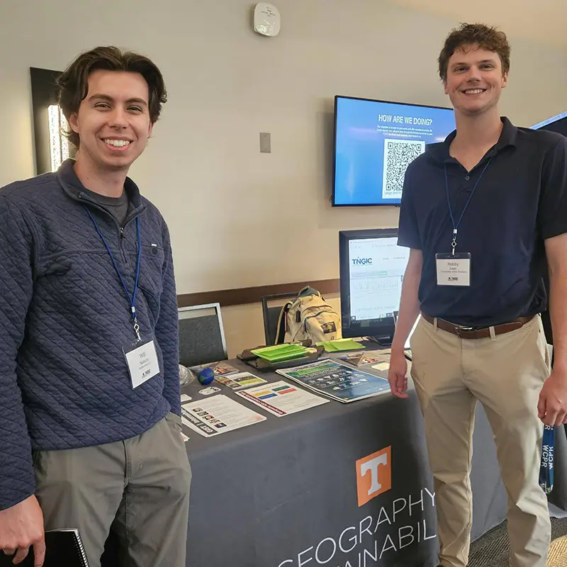
In a less GIS-specific activity at the conference, Ben Pedersen and recent alumnus Robby Lape won first place out of 32 teams at the 2024 cornhole tournament. They took home brand new cornhole boards as prizes.
“I hope anyone interested in learning more about GIS and geospatial technology will join us for future TNGIC events,” said Camponovo. “It’s a great way to learn about new technologies and workflows, meet alumni and network, and learn about jobs. Between presenting, submitting maps and posters, leading workshops, serving as business partners, and more, there are many ways for students and alumni to engage with the organization.”
Interested geographers can participate in the free, one-day East Regional Fall Forum in Johnson City (ETSU) on Tuesday October 15, 2024. The next annual meeting will be at the Embassy Suites in Murfreesboro April 15–17, 2025.
The geography department thanks the dozens of Vol alumni who attended the conference and made current students feel welcome within the organization:
- Danielle (Dami) McClanahan organized the cornhole tournament and was elected to the TNGIC board of directors.
- Tracy Homer shared her expertise with the FOSS community on creating art from digital mapping products.
- Caitlyn Mills presented her work with Stantec for the Tennessee Department of Transportation.
- Paul Dudley served as the TNGIC president over the last year and presented on his project of mapping all the trails in Tennessee. He was also instrumental in organizing our very first “Nerf war.”
- Kurt Butefish of the Tennessee Geographic Alliance provided an update on K–12 geography education in Tennessee and was a business partner for the conference.
- Danielle McClanahan, Caitlyn Mills, and Bass Neal from Stantec were also business partners at this year’s conference.
- Tracy Homer designed and created the Tennessee Rivers laser cut map that was the grand prize for our door prizes.
- Sam McCloud, Caelan Evans, and Danielle McClanahan were instrumental in organizing the conference.
King’s Research Community Takes Root to Grow North American Climate History
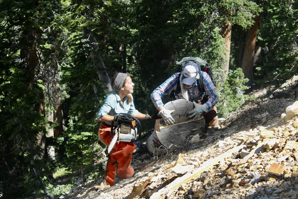
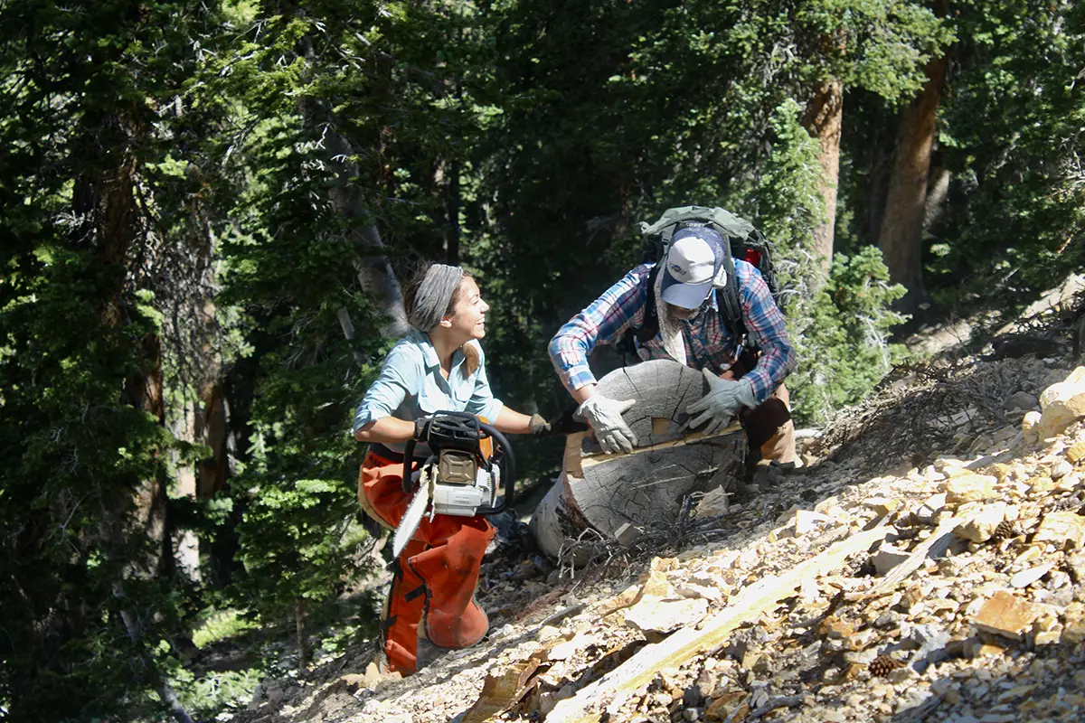
Researchers across many scientific fields found themselves adapting investigative methods in the spring of 2020 to accommodate social-distancing and remote-work guidelines in the face of the COVID pandemic.
Karen King discovered that much of her actual fieldwork already met guidelines.
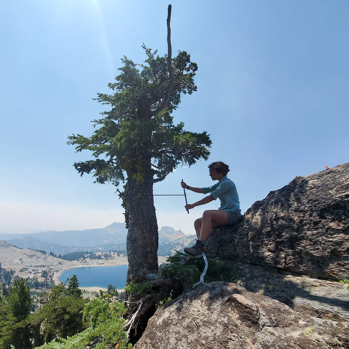
“As a dendrochronologist, ‘working remotely’—which I interpret as searching for old trees in some of the most remote forests of western North America—was something I’d already had a lot of experience doing,” she said.
King joined UT in August 2023 as an assistant professor in the Department of Geography and Sustainability. She brought with her expertise in dendrochronology, plus experience in paleoclimate studies, biogeography, forest ecology, and fire-climate interactions. She applies these skills as lead author on research published in the January 2024 Science Advances. Her team used tree-ring chronologies to develop data that reconstructs a 500-year history of summer temperatures in the paper “Increasing Prevalence of Hot Drought Across Western North America Since the 16th Century.”
They combined their new dataset with preexisting drought and precipitation data to connect a historical record with current geographical climate conditions. COVID-related travel restrictions did lead them to find creative ways to fill in international gaps in data.
“I was able to get numerous preexisting collections from collaborators mailed to me,” said King. “This was particularly important for the southern Canadian portion of the network that would have otherwise been inaccessible. This project really is a testament to the power of building a strong and collaborative scientific community.”
Their results represent not just the needed data, but also contributions and expertise of fellow scientists, land managers, land stewards, technicians, and students.
“As my co-author and postdoc mentor Ed Cook once told me, ‘Atlases truly are community efforts,’ said King. “My co-authors and I are extremely proud to have built a dataset with our community that is also for our community.”
Their effort combines observational and modeling records with their new paleorecord, building evidence that hot drought—combined extreme heat and drought conditions—has been more frequent over the last century than ever before.
“Compared to the last circa 500 years, the data show an increasing trend in the frequency and spatial footprint of hot drought,” said King.
The data history reflects the imprint of the 1930’s era Dust Bowl and the modern megadrought, from around 2000 to the present, both characterized by some of the warmest temperatures over the 500-year time frame.
“I hope to clarify that recent trends in the occurrence of drought, simply defined by a lack of precipitation, are not unprecedented. Western North America is a very drought-prone region,” said King. “Instead, the nuance here with the recent decades is that these recent droughts are hotter on average than any previous droughts recorded since the mid-15th century.”
King’s ongoing research builds on their findings in the west as they establish a comprehensive North American Temperature Atlas—including studies in some favorite Tennessee natural areas.
“We are using slightly altered sampling approaches in the eastern US,” she said. “For example, we are targeting different species of trees. Here in the eastern US, we are primarily looking at data from Eastern Hemlock and Red Spruce. Some of our sample sites include Mount LeConte and Clingman’s Dome in the Smokies.”
Her team continues to find creative ways to maximize the depth and detail of their sample data.
“In addition to collecting living and remnant samples, we are also looking into using archeological samples—e.g., wood samples from historical structures—to help extend the tree ring data even further back in time,” she said.
King and crew’s adaptability exemplifies the Volunteer Spirit as they build research foundations for both environment and community.

King Team Studies 500 Years of North American Hot Drought

Assistant Professor Karen King joined the UT Department of Geography and Sustainability in August 2023, bringing with her specialties in dendrochronology, paleoclimate, biogeography, forest ecology, and fire-climate interactions. She applies her experience in these areas as lead author on research published in the January 2024 Science Advances.
Her team used tree-ring chronologies to develop data that reconstructs a 500-year history of summer temperatures across western North America in the paper “Increasing Prevalence of Hot Drought Across Western North America Since the 16th Century.” They combined their new dataset with preexisting drought and precipitation data to connect a historical record with current geographical climate conditions.
Their findings indicate that hot drought—combined heat and drought conditions—has been more severe over the last century than ever before. The reconstruction allows for important new findings regarding the influence of summer temperatures on the development of notable past droughts in western North America.
King’s ongoing research builds on these findings.
“I am currently working on expanding the Western North American Temperature Atlas to provide complete spatiotemporal coverage of the entire North American continent over at least the past 500 years: the North American Temperature Atlas,” said King. “This will allow for a more complete evaluation of the spatial patterns of temperature-drought interactions back through time.”
Her research was picked up by The Washington Post and State of The Planet.
How to use free satellite data to monitor natural disasters and environmental changes
How to use free satellite data to monitor natural disasters and environmental changes
NASA Earth Observatory
Qiusheng Wu, University of Tennessee
If you want to track changes in the Amazon rainforest, see the full expanse of a hurricane or figure out where people need help after a disaster, it’s much easier to do with the view from a satellite orbiting a few hundred miles above Earth.
Traditionally, access to satellite data has been limited to researchers and professionals with expertise in remote sensing and image processing. However, the increasing availability of open-access data from government satellites such as Landsat and Sentinel, and free cloud-computing resources such as Amazon Web Services, Google Earth Engine and Microsoft Planetary Computer, have made it possible for just about anyone to gain insight into environmental changes underway.
I work with geospatial big data as a professor. Here’s a quick tour of where you can find satellite images, plus some free, fairly simple tools that anyone can use to create time-lapse animations from satellite images.
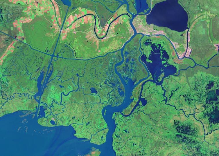
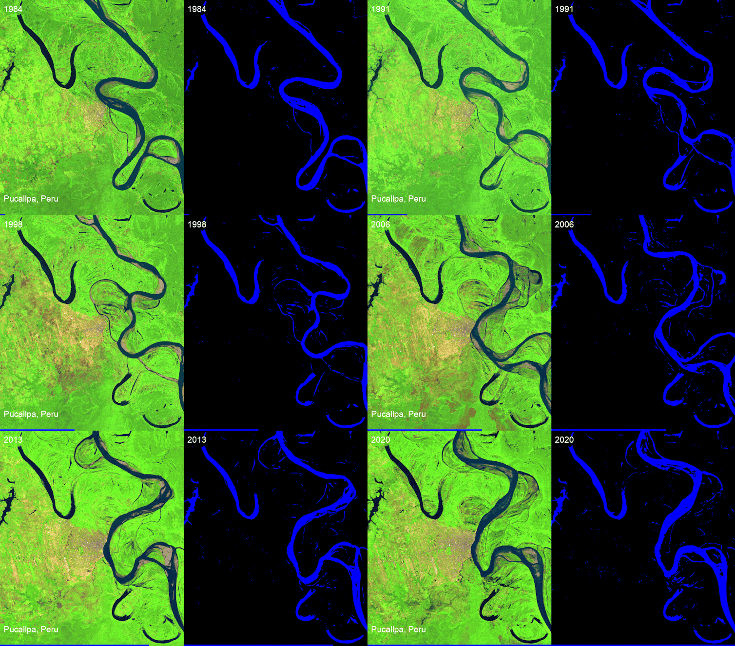
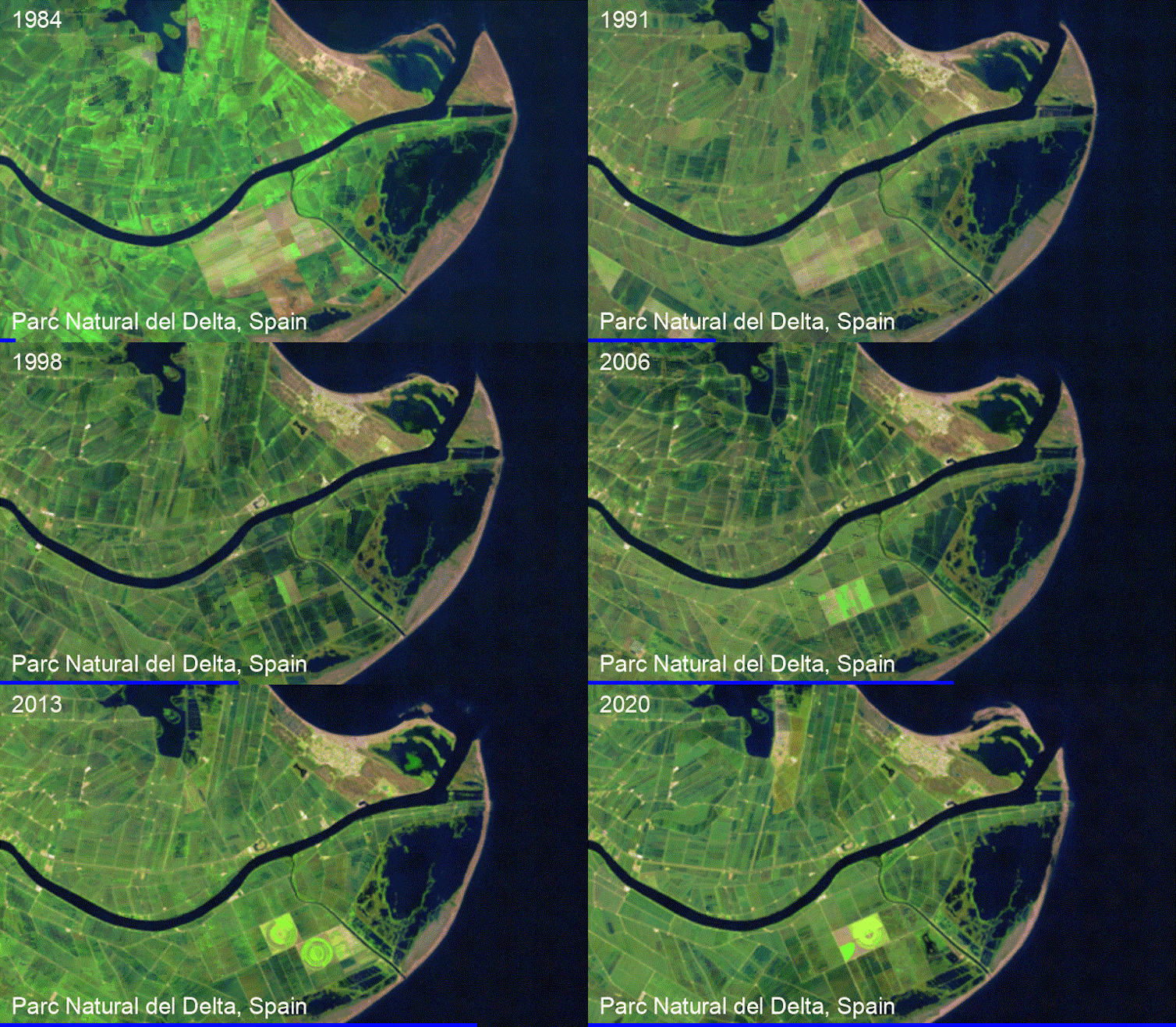
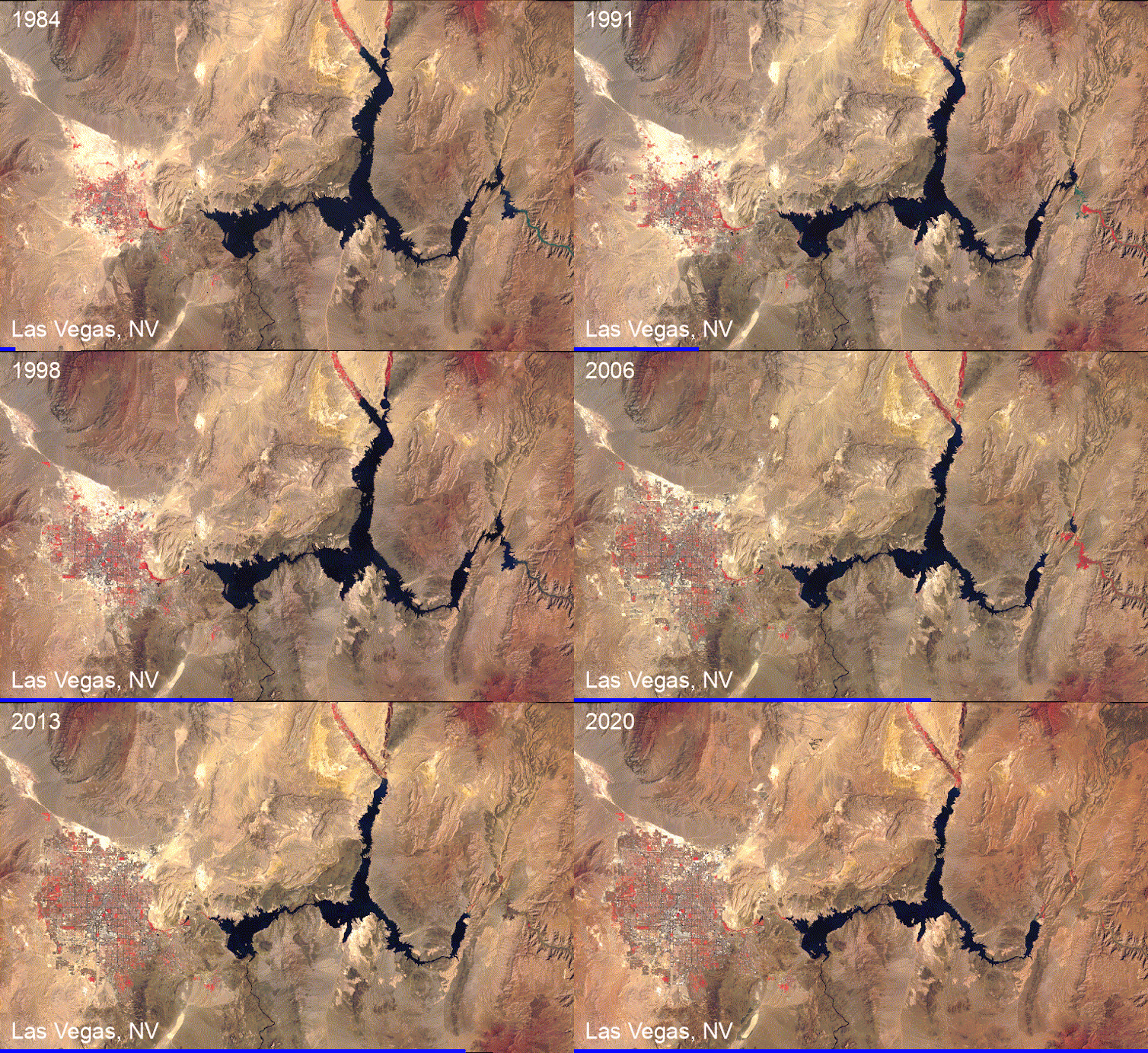
For example, state and urban planners – or people considering a new home – can watch over time how rivers have moved, construction crept into wildland areas or a coastline eroded.
Qiusheng Wu, NASA Landsat
Qiusheng Wu, NASA Landsat
Environmental groups can monitor deforestation, the effects of climate change on ecosystems, and how other human activities like irrigation are shrinking bodies of water like Central Asia’s Aral Sea. And disaster managers, aid groups, scientists and anyone interested can monitor natural disasters such as volcanic eruptions and wildfires.
Qiusheng Wu, NOAA GOES
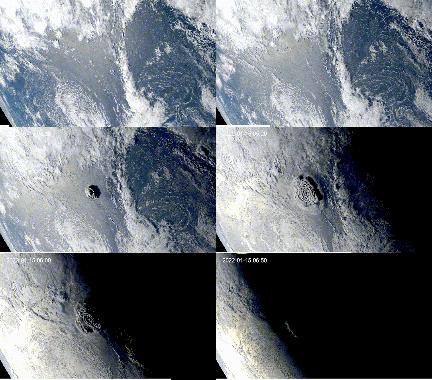
Qiusheng Wu, NOAA GOES
Putting Landsat and Sentinel to work
There are over 8,000 satellites orbiting the Earth today. You can see a live map of them at keeptrack.space.
Some transmit and receive radio signals for communications. Others provide global positioning system (GPS) services for navigation. The ones we’re interested in are Earth observation satellites, which collect images of the Earth, day and night.
Landsat: The longest-running Earth satellite mission, Landsat, has been collecting imagery of the Earth since 1972. The latest satellite in the series, Landsat 9, was launched by NASA in September 2021.
In general, Landsat satellite data has a spatial resolution of about 100 feet (about 30 meters). If you think of pixels on a zoomed-in photo, each pixel would be 100 feet by 100 feet. Landsat has a temporal resolution of 16 days, meaning the same location on Earth is imaged approximately once every 16 days. With both Landsat 8 and 9 in orbit, we can get a global coverage of the Earth once every eight days. That makes comparisons easier.
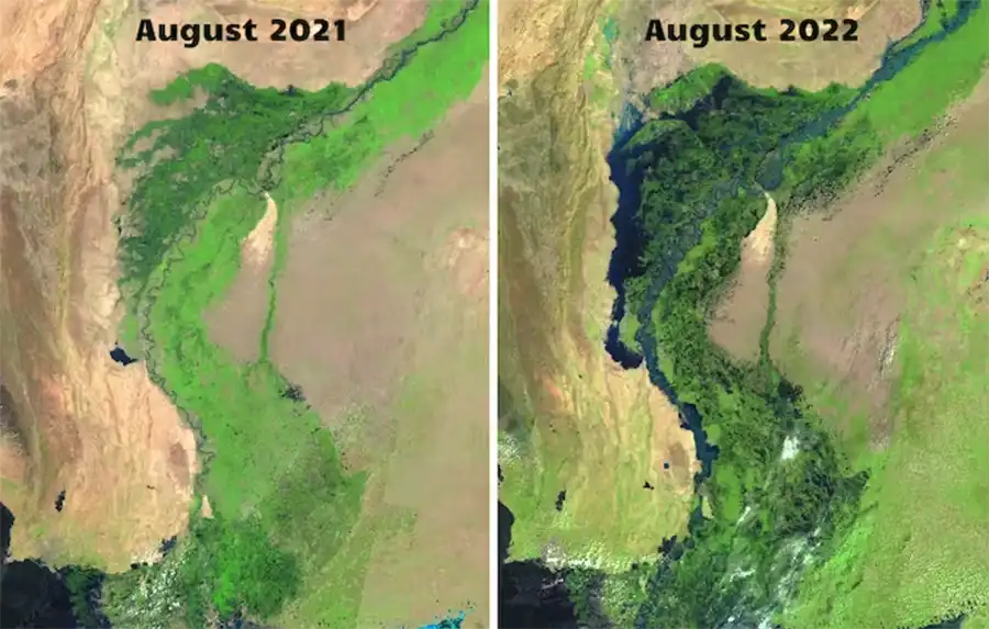
Landsat data has been freely available to the public since 2008. During the Pakistan flood of 2022, scientists used Landsat data and free cloud-computing resources to determine the flood extent and estimated the total flooded area.
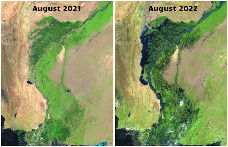
Qiusheng Wu, NASA Landsat
Sentinel: Sentinel Earth observation satellites were launched by the European Space Agency (ESA) as part of the Copernicus program. Sentinel-2 satellites have been collecting optical imagery of the Earth since 2015 at a spatial resolution of 10 meters (33 feet) and a temporal resolution of 10 days.
GOES: The images you’ll see most often in U.S. weather forecasting come from NOAA’s Geostationary Operational Environmental Satellites, or GOES. They orbit above the equator at the same speed Earth rotates, so they can provide continuous monitoring of Earth’s atmosphere and surface, giving detailed information on weather, climate, and other environmental conditions. GOES-16 and GOES-17 can image the Earth at a spatial resolution of about 1.2 miles (2 kilometers) and a temporal resolution of five to 10 minutes.
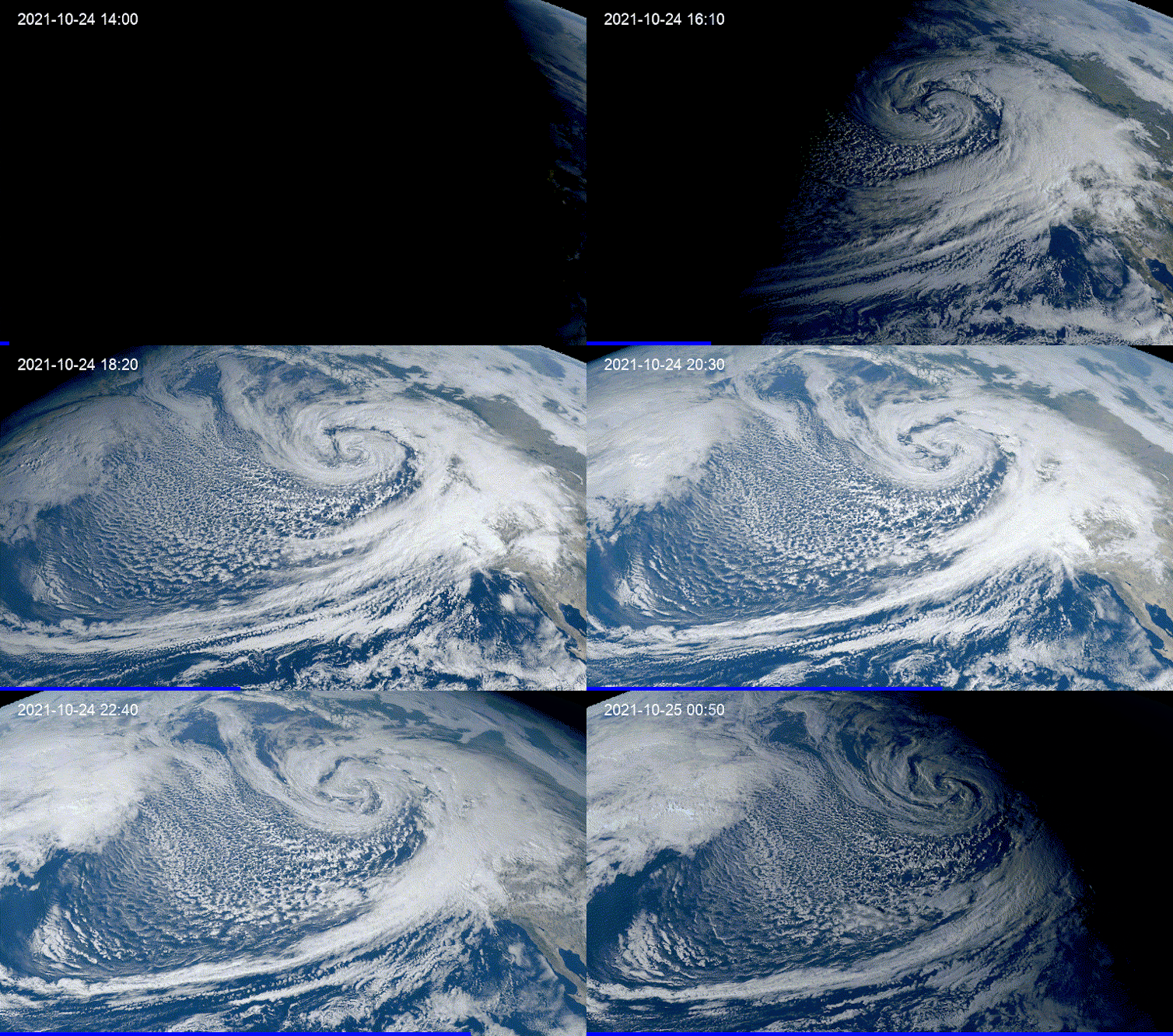
Qiusheng Wu, GOES
How to create your own visualizations
In the past, creating a Landsat time-lapse animation of a specific area required extensive data processing skills and several hours or even days of work. However, nowadays, free and user-friendly programs are available to enable anyone to create animations with just a few clicks in an internet browser.
For instance, I created an interactive web app for my students that anyone can use to generate time-lapse animations quickly. The user zooms in on the map to find an area of interest, then draws a rectangle around the area to save it as a GeoJSON file – a file that contains the geographic coordinates of the chosen region. Then the user uploads the GeoJSON file to the web app, chooses the satellite to view from and the dates and submits it. It takes the app about 60 seconds to then produce a time-lapse animation.
TUTORIAL
INTERACTIVE WEB APP
How to create satellite time-lapse animations.
There are several other useful tools for easily creating satellite animations. Others to try include Snazzy-EE-TS-GIF, an Earth Engine App for creating Landsat animations, and Planetary Computer Explorer, an explorer for searching and visualizing satellite imagery interactively.
Qiusheng Wu, Assistant Professor of Geography and Sustainability, University of Tennessee
This article is republished from The Conversation under a Creative Commons license. Read the original article.

New Department Members – 2022
New Department Members – 2022

Alexis Andershock, career coach with the Division of Student Success, provides support to undergraduate and graduate students within geography and sustainability to achieve their professional goals. Alexis meets one-on-one with students to review resumes and cover letters, find relevant internship opportunities, explore potential career paths, and guide students through the graduate school application process. Alexis has also been instrumental in many of the department’s recent career focused events such as the UT Department of Geography and Sustainability Virtual Career Mingle and organizing in-person and virtual guest speakers.
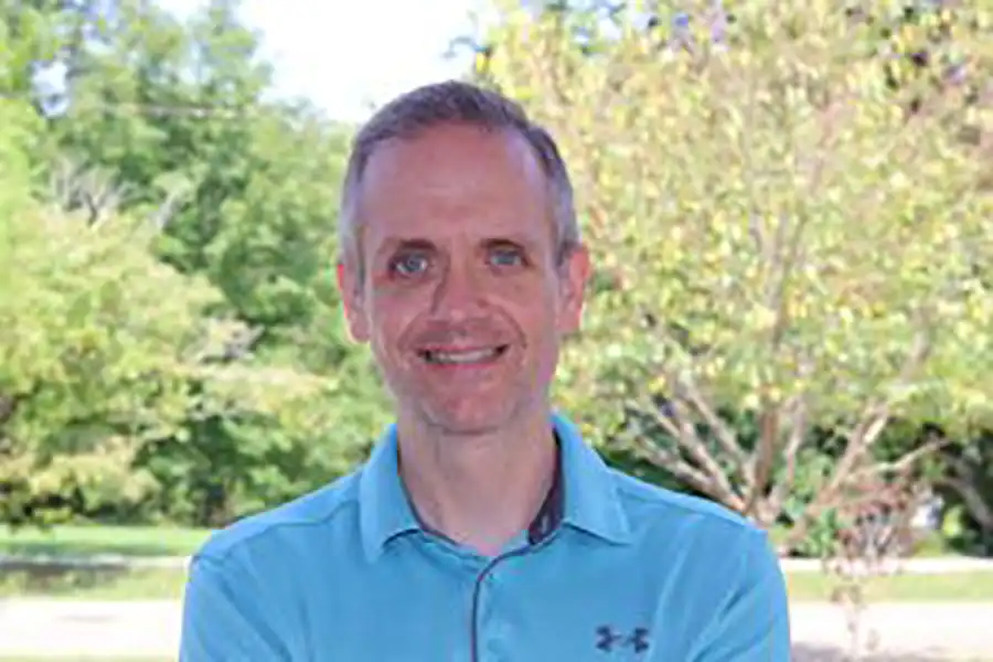
Tommy Brown, academic advisor with the College of Arts and Sciences, provides academic support for undergraduate students within geography and sustainability. Tommy meets one-on-one with students to review their course of study, find suitable classes, and help students graduate on schedule. Tommy is also involved with many departmental outreach events such as the Big Orange Welcome.
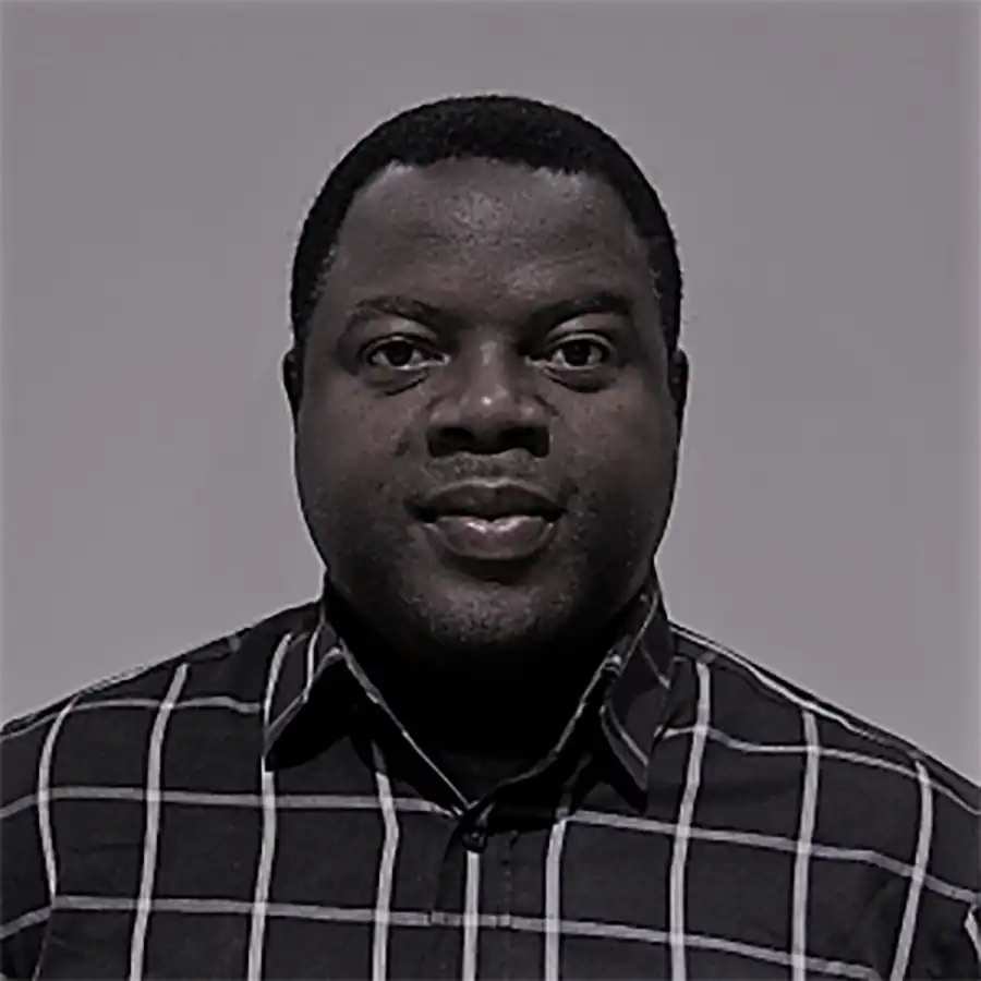
Olusola Festus, lecturer specializing in geographic information systems (GIS) in urban terrestrial wetland landscapes and public health, joined the department in fall 2021. Festus is currently teaching several introductory and intermediate GIS courses with large positive feedback from students.
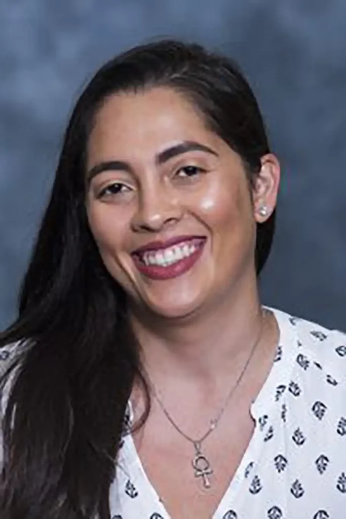
Mayra Román-Rivera, lecturer specializing in coastal geomorphology and remote sensing, also joined the department in fall 2021. She is a physical geographer specializing in coastal geomorphology of post-storm recovery, and she gave a department seminar on this research in fall 2021. She is currently teaching a suite of climate change, natural disaster and human dimensions, and GIS courses with excellent feedback.
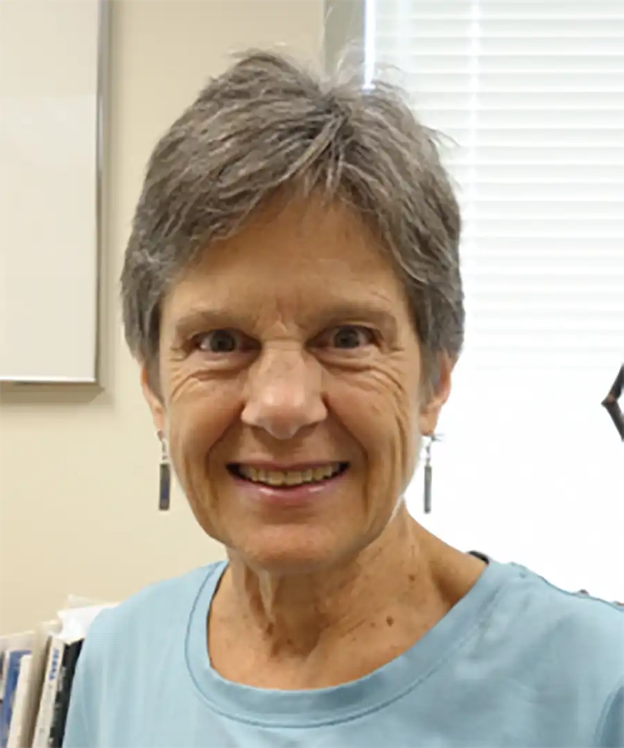
Professor Emerita Carol Harden Receives AAG Lifetime Achievement Award
Professor Emerita Carol Harden Receives AAG Lifetime Achievement Award
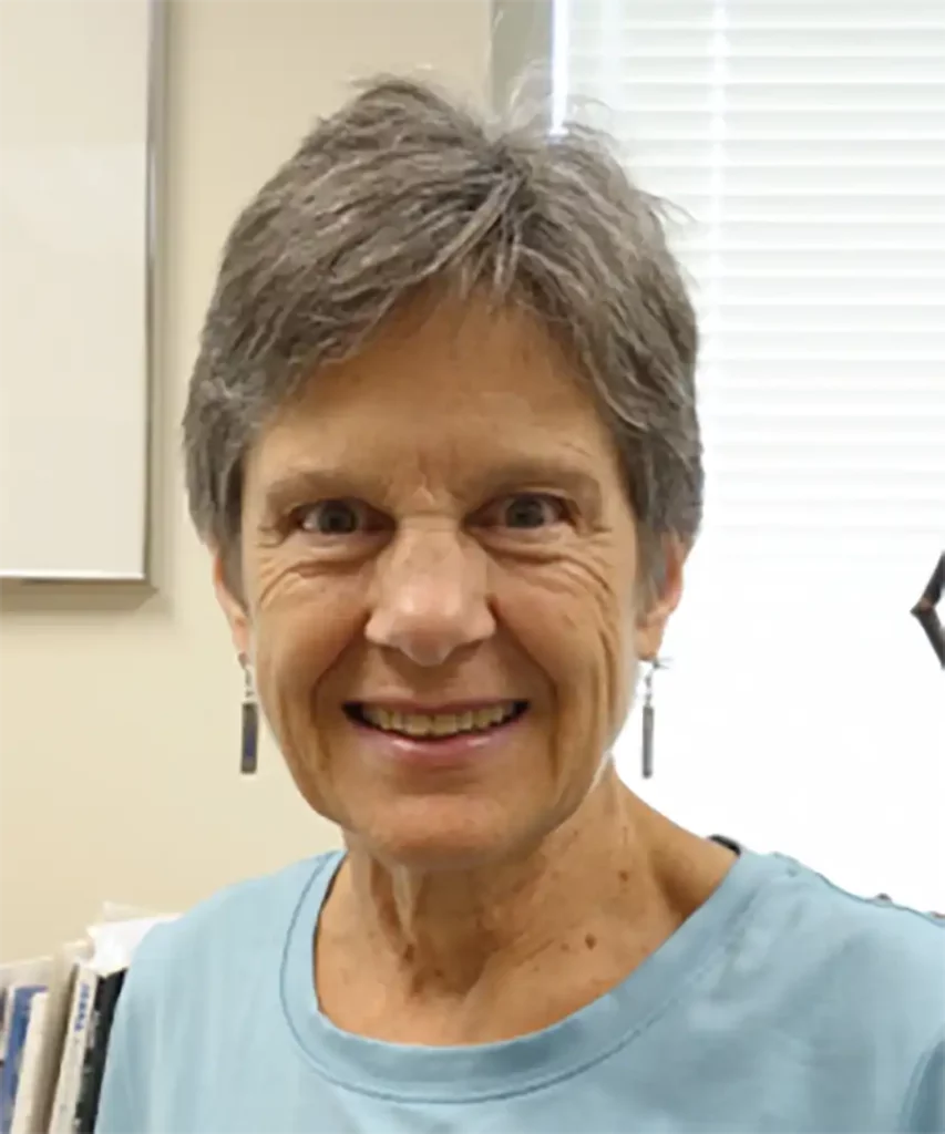
Carol Harden, the 2021 recipient of the AAG’s Lifetime Achievement Honors, is the quintessential field scientist, professional association leader, and effective science communicator. She has been at the forefront of advancing geography’s role in the natural sciences, whether in the AAG, National Research Council, National Geographic Society, or National Science Foundation. Over a half-century career, Harden has established herself as one of the leading figures in contemporary physical geography and environmental science. More broadly, she has had a tremendous influence across our entire discipline, owing to the many roles she has played at the University of Tennessee, AAG, National Research Council, and National Geographic Society, and as editor of Physical Geography.
Since the 1980s, Harden has done fieldwork in the Andes, including a year on a Fulbright to Ecuador. Her commitment to international fieldwork and diversity in geography and other field disciplines and her encyclopedic knowledge of physical geography allows her to evaluate critically, and advocate for support of, fieldwork, especially by diverse scholars from around the world. In addition to her Latin American research, she has generated a substantial body of research in the U.S., mainly in Appalachia, on soil erosion, watershed hydrology, water quality, and human impacts.
Harden is currently the Chair of the Geographical Sciences Committee and a Member of the Board on Earth Sciences and Resources, both for the National Academies of Science, Engineering, and Medicine (NASEM). She was recently a member of the prestigious and influential Committee on Research and Exploration of the National Geographic Society. She has also served as a member and Chair of the Nominations Committee, Geology, and Geology Section, American Association for the Advancement of Science (AAAS). Harden was a member (2017) and then Chair (2016-2020) of the Geographical Sciences Committee (GSC-NASEM). In 2010-2012, Harden served first as Vice President and then as President of the American Association of Geographers.
She is a compassionate listener and a fair-minded leader. Harden is a mentor with an impact on cultivating new and early-career disciplinary leaders. She does this with a clear vision of geography’s role in science, higher education, and society, allowing her to see and realize new opportunities and build new initiatives. A strong sense of collegiality and caring has allowed her to engage in constructive and productive dialog across several disciplinary divides. For these qualities and achievements, the AAG recognizes Carol Harden as the 2021 recipient of the AAG Lifetime Achievement Honors.

Engaging Undergraduate Students
Engaging Undergraduate Students
Our alumni continue to find exciting ways to keep engaged with current students. In the middle of the pandemic, a small group of alumni were looking for ways to support current and recently graduating students at a time when the economy was suffering, so they created an alumni group on LinkedIn to build connections between the two groups.
Founding members are Hannah Gunderman (’18), Adam Alsamadisi (’15, ’19), Kelly Baar (’19), and Morgan Steckler (’20). Join the group by searching for “UTK Geography Alum” on LinkedIn. (https://www.linkedin.com/groups/12468218/).

“When you go on a tour of UT, one phrase really hits home: Tennessee is a big campus with a small community feel. This could not be truer than as a student in the geography department, which serves as a home away from home. It offers opportunities in research, leadership, and networking. It encourages students to excel academically and gives students the resources to do so. It houses a safe space for students to study, create friendships, and host events. We felt like everything this department works so hard to create shouldn’t end at graduation so, we created the LinkedIn group. Originally, the group was to house a space for students to transition to alumni with the help of other graduates. Now, it is actively used as a way to recognize alumni accomplishments, provide support for recent graduates, and networking. As membership grows, we hope to continue to foster meaningful conversations amongst UT geography alumni.”
–Kelly Baar
In addition to the LinkedIn group, alumni connect with our students through a capstone course, Geography 499: Practicing Geography. More than 30 alumni volunteered to serve as mentors during the fall 2021 semester. The goal of the program was to connect students and alumni to help share professional experiences and advice while building meaningful connections.
“Being a mentor has been an invaluable experience,” said Kelly Baar, who graduated with a bachelor’s in geography in 2019. “I have thoroughly enjoyed giving back to a department that immensely shaped my experience as a student, and now continues to allow me to share my passion with likeminded people.”
Kelsey Roche will graduate this spring and is ready to explore her career options thanks to her experience with the program. Her mentor, Jeff Smith, is the regional business manager for Trimble Inc. and based in Florida.
“I was lucky enough to be paired with a mentor to help me navigate the intimidating job-hunting world,” Kelsey said. “I have gained so much appreciation for Jeff as he’s helped me define my strengths as a future employee, strengthen my resume, written me a recommendation, and offered the help of his professional friends along my journey of finding a job out of college. Jeff has given me endless amounts of advice about the real world that I plan on taking with me beyond my professional life. He has not only made me prepared, but excited for the job-hunting experience. I couldn’t imagine being as ready as I am to start exploring my life after college without the help of my mentor.”
Bennett Meeks, who graduated in 2021 with a bachelor’s in geography, enjoyed the opportunity to get to know an alum during the program and speaks to her on a regular basis.
“My mentor provides a wealth of knowledge,” Bennett said. “There is something special about getting advice from someone who has just gone through the same transitions as you – especially having it been so recently. The ability to speak with a friend in the professional field is also invaluable because I often get a lot of advice that is inferred and often overlooked, and I receive advice on the things that I have yet to do or have not done in my college experience and hear their perspective while learning from their ventures. As I started my new job this semester, my mentor was one of the first people to hear about it, and the advice she gave me was always spot on. I love the connection between my mentor and I, and I am really looking forward to doing the same for the next generation.”
If you are interested in being a mentor, contact Michael Camponovo, program coordinator, at mcampono@utk.edu.
Geography Student Morgan Steckler’s summer internship with Maxar
Geography Student Morgan Steckler’s summer internship with Maxar
This summer, our Geography MS Student Morgan Steckler is working with Maxar as an intern. Maxar is a space technology company headquartered in Westminster, Colorado, United States, specializing in manufacturing communication, Earth observation, radar, and on-orbit servicing satellites, satellite products, and related services.

Here is what Morgan shared with us:
“This summer, I worked remotely for Maxar Technologies as a data science intern on the Kestrel team. I analyzed maritime vessel loitering behaviors through independent research and scripted processing of remotely sensed data. This internship greatly improved my understanding and appreciation of the private space and intelligence industry, efficient and effective teamwork, and the colorful role of a data scientist.”
Reference: ESRI Living Atlas app for US Vessel Traffic.
Horn Receives Honor from AAG
Horn Receives Honor from AAG

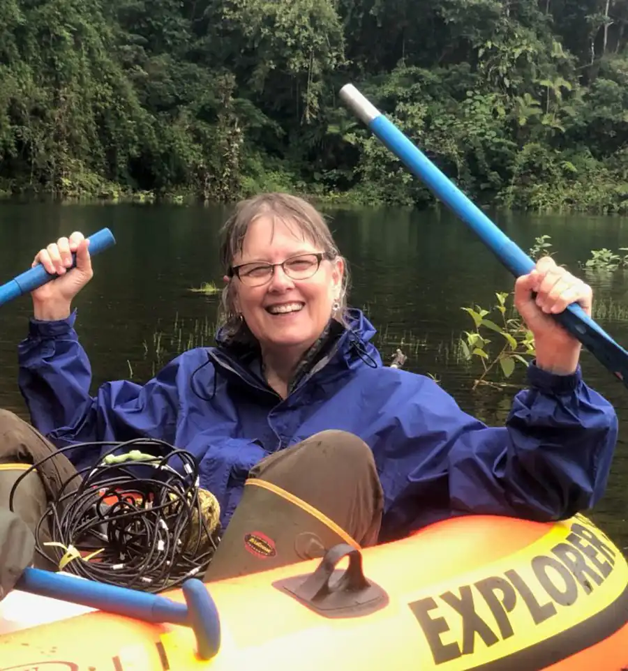
Sally Horn, professor in the UT Department of Geographers, was honored for her service and achievements for the American Association of Geographers (AAG) during the 2022 meeting of AAG. Horn is being honored for her significant contributions in the area of paleoenvironmental change research in underexplored neotropical regions.
“The time period I study is mainly before the time of written records, and I find it fascinating to discover the unwritten history of our planet that is preserved in sediments, soils, and materials that we can consider ‘natural archives’ of environmental change,” Horn said.
Horn’s research focus is Quaternary environments, biogeography, prehistoric impacts on the environment, fire history and ecology.
The AAG states, “Sally Horn is recognized for her many contributions to biogeography and paleogeography as well as mentoring of students and teaching.”
Receiving this award confirms Professor Horn’s outstanding contribution to her field of research. As she continues to unravel prehistoric evidence, she hopes to help make a positive impact on modern human society.
–Story by Leah Carter
