• Request Info
  • Visit
  • Apply
  • Give
  • Request More Info
  • Visit
  • Apply
  • Give

Search

  • A-Z Index
  • Map

Geography and Sustainability

  • About
    • Facilities
    • Alumni
    • Research & Community Partners
    • Geographic Links
  • Areas of Study
    • Physical Geography
    • GIST
    • Human Geography
    • Sustainability
  • People
    • Faculty
    • Staff
    • Graduate Students
    • Adjunct & Affliated Faculty
    • Alumni
    • Emeritus
  • Undergraduate
    • Where Can a Geography Degree Take You?
    • Majors
    • Minors
    • Certificates
    • Advising
    • Forms
    • Apply
  • Graduate
    • MS Program
    • PhD Program
    • Apply
    • Graduate Handbook
    • Forms
  • Student Engagement
    • Clubs
    • Community Engagement
    • Awards
    • Internship and Employment
    • Study Abroad
  • News & Events
    • Statements
    • Share Your News
    • Newsletters
    • News
    • Events
    • Geography Awareness Week
    • GeoSym
topography background

News

Michael Camponovo recognized by Esri and National Geographic

Michael Camponovo recognized by Esri and National Geographic

September 26, 2022

Michael Camponovo recognized by Esri and National Geographic

Michael Camponovo

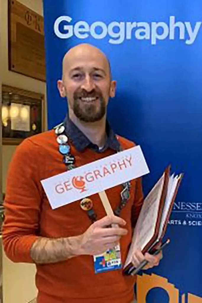
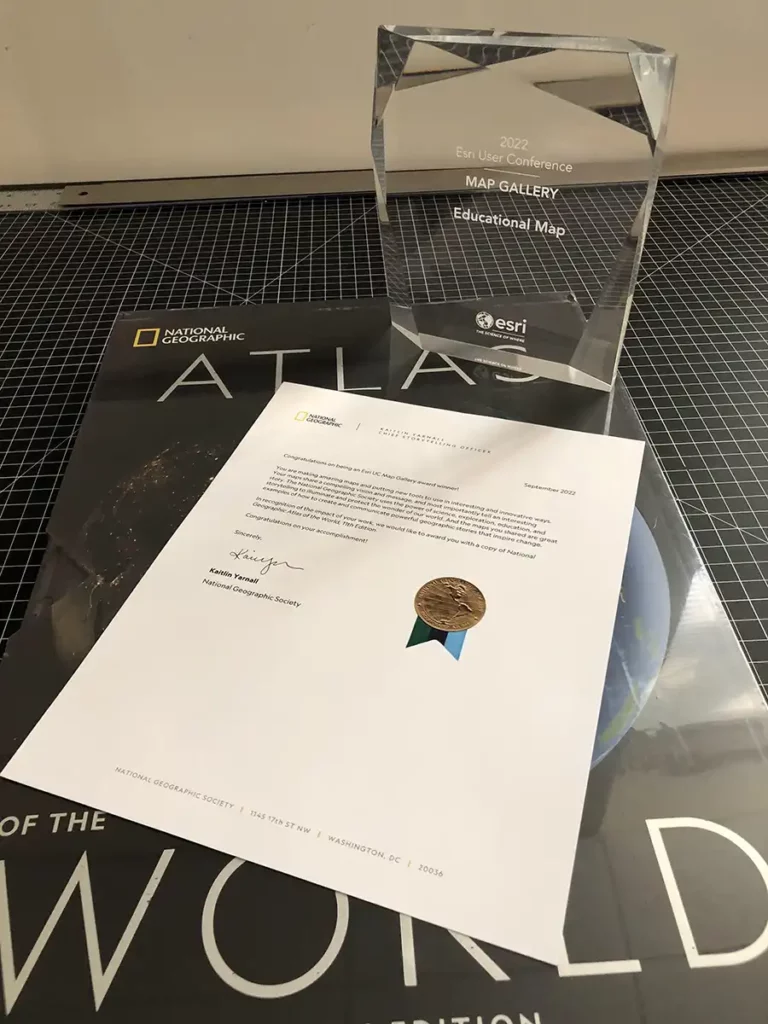
Our GIS Outreach Coordinator Michael Camponovo was recognized by Esri and National Geographic for a story map he made focusing on EMR, remote sensing, and geospatial tech and how students can use them to study landscape recovery after wildfires. Well done, Michael. Congratulations!

See the Storymap Here

The Storymap’s Introduction

Exploring EMR With Wildfire Satellite Imagery

Combining Math, EMR, and GIS

Teachers are encouraged to download and use this mini-unit lesson plan ( Google Doc link )

Here in the United States, we typically associate wildfires with the western part of the country. But we actually have wildfires all across the country, even here in Tennessee.

While we often think of wildfires as destructive and bad, they are actually a natural part of our landscape. In fact, some species, like the table mountain pine, need  fires for their cones to open and drop their seeds . Animals benefit from wildfires too because they change the habitat of the land. You can even become a wildfire ecologist and  study the way fire changes the landscape as a career .

One question you might have about wildfires and their impact on the environment is:

How long does it take for an area burned by a wildfire to recover?

Michael Camponovo's acknowledgement by National Geographic Society and ESRI

A simple way to answer that question would be to see how long it takes for vegetation to appear in the burned area.

Today we are going to use data from satellites to explore this topic while focusing on wildfires in the Southeastern United States. But first, we need to learn a little about electromagnetic radiation and how we collect and visualize that data.

Filed Under: Department News, Featured News, GIST

an illustration of geographers engaged in research surrounding a globe

Geographers Engage With The World

Request More Information

Support The Department

Department of Geography and Sustainability

College of Arts and Sciences

Burchfiel Geography Building
1000 Phillip Fulmer Way
Room 304
Knoxville, TN 37996-0925
865-974-2418
utkgeog@utk.edu


Facebook Icon    X Icon    Instagram Icon    YouTube Icon

The University of Tennessee, Knoxville
Knoxville, Tennessee 37996
865-974-1000

The flagship campus of the University of Tennessee System and partner in the Tennessee Transfer Pathway.

ADA Privacy Safety Title IX