
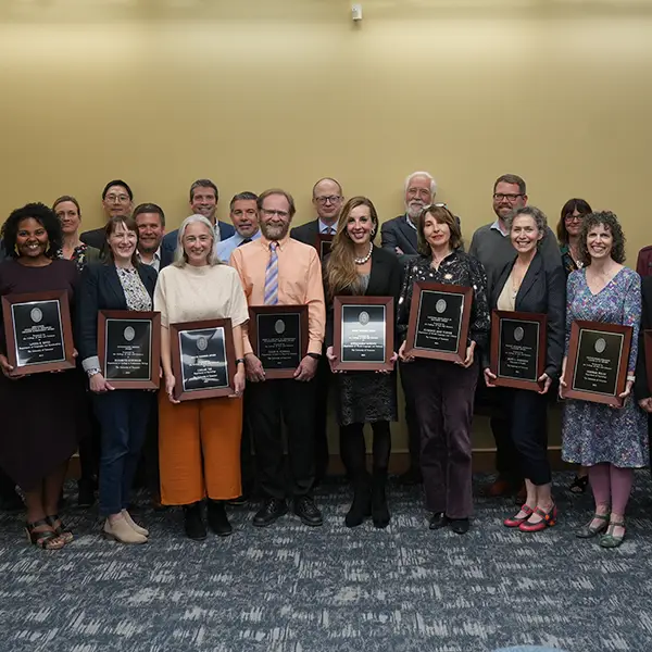
Faculty Honored for Excellence at Annual College Convocation
During the 2023 UT College of Arts and Sciences Faculty Convocation, faculty with the Department of Geography and Sustainability received awards for excellence in research, teaching, and outreach.
LaToya Eaves, Associate Professor
Excellence in Research & Creative Achievement Awards: Mid-Career
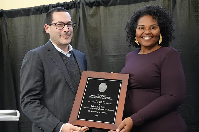
Eaves is one of the most significant scholars and intellectual leaders in the field of human geography. She is credited with pioneering the new area of “Black Geographies” as an emerging sub-discipline that has altered how all of human geography conceptualizes race, gender, and location.
Her studies focus on Black people’s lived experiences with placemaking and spatial knowledge, specifically how race, gender, class, and regional/place context interact to form patterns of identification, belonging, and social injustice. For her contributions, she is one of the first associate professors to be selected as a lifetime Fellow of the American Association of Geographers, with two prestigious awards from that association.
Melissa Hinten, Senior Lecturer
Excellence in Teaching Awards: Lecturer
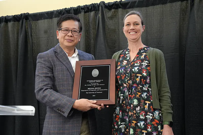
Hinten is the director of the sustainability program in the Department of Geography and Sustainability. She has successfully led the program since 2017 and helped it to transition from an IDP to a full major. She has created numerous courses in sustainability, physical geography, and ecology courses which are essential to the sustainability program. As an instructional leader with the UT Center for the Integration of Research, Teaching, and Learning she helped institute evidence-based teaching and helped to make these programs more accessible to graduate students.
Hinten earned the Chancellor’s Honors Award for Excellence in Advising in 2019. Her teaching, mentorship and passion for knowledge greatly contribute to the broader goal and objectives of the department to not only provide an excellent education to our students, but also to create an environment for the college, the community, and our university.
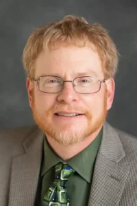
Derek Alderman, Professor
Faculty Academic Outreach Award: Research & Creative Activity
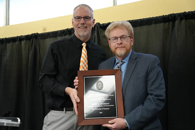
Alderman is an exemplary role model of a scholar leveraging their research to assist wider communities in addressing issues of racial inequality and pushing for social justice in landscapes of public commemoration, naming, and tourism. A departmental awards committee composed of faculty and student members chose him as a nominee for his innovative perspective as a cultural geographer whose scholarship seeks to challenge and transform inequities in the organization of places, institutions, and social practices.
Alderman is a nationally recognized authority on street-naming, especially for civil rights icon Martin Luther King Jr. He explores place names as cultural arenas for reckoning with the histories and ongoing legacies of racism and as tools for promoting reconciliation, anti-racist education, and social justice.


 Our esteemed colleague, Dr.